Engineering Excellence: How Creekbend Excavating Utilizes Geospatial Data for Superior Results Apr 07, 2026
Geospatial data in the context of excavation involves leveraging data that includes geographic components to improve planning, execution, and overall outcome of construction projects. Creekbend Excavating transforms this complex data into actionable insights to streamline their operations, ensuring not only efficiency but also superior results. With a reputation for engineering excellence, they utilize this data to redefine the benchmarks for quality and precision in the industry.
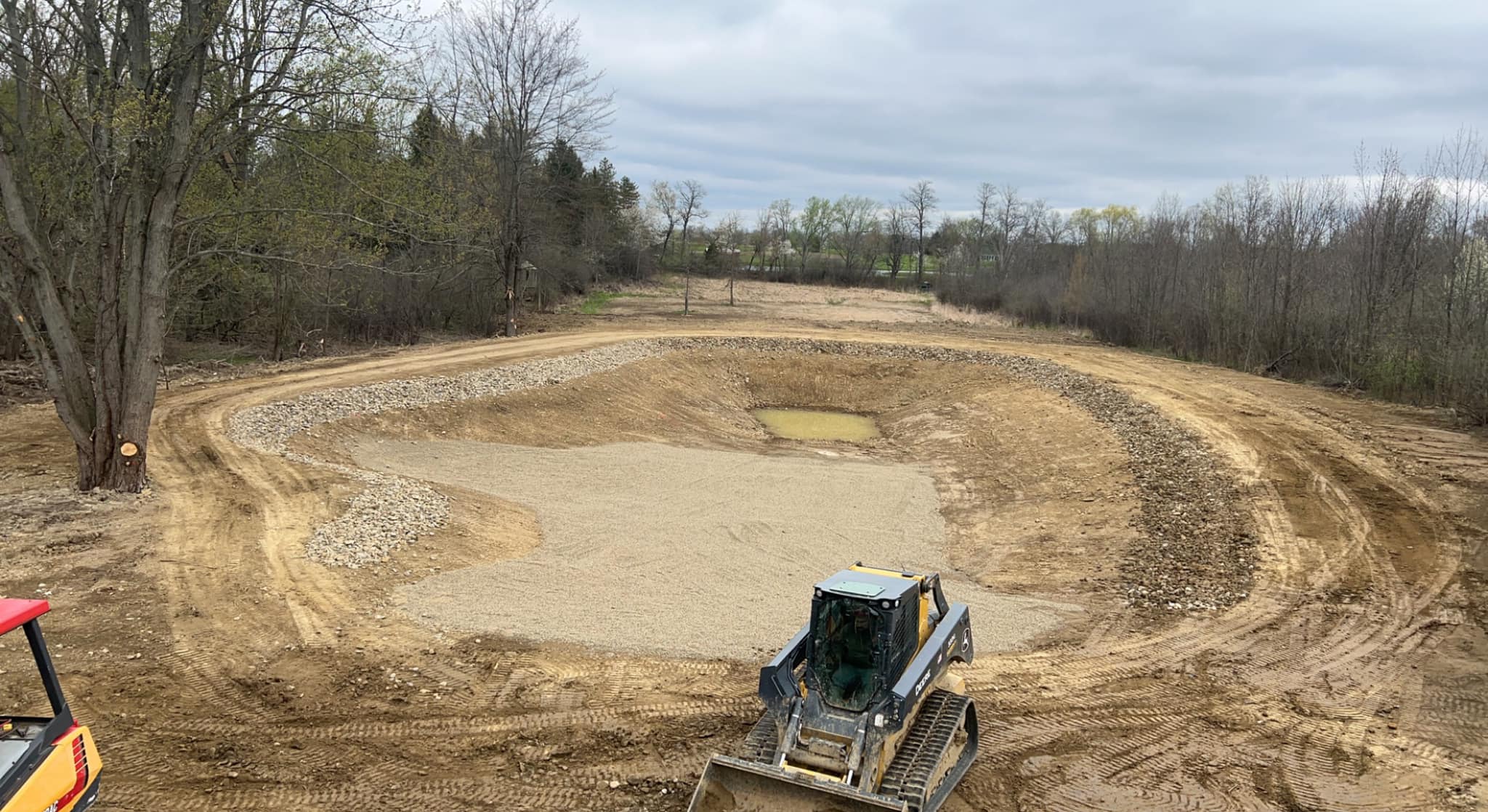
The integration of geospatial data into Creekbend Excavating’s operations begins with advanced surveying techniques. By employing high-definition scanners, drones, and GPS technology, the team collects detailed information about the terrain before commencing any project. This data provides a 3D representation of the site, which is more comprehensive than traditional surveying methods. With this bird’s eye view, potential issues such as uneven ground and hidden underground structures are identified early, preventing costly delays and mishaps.
Once data gathering is complete, Creekbend Excavating leverages sophisticated software to process this information. Geospatial analysis allows the team to plan every phase of the excavation with pinpoint accuracy. This analysis ensures the most efficient paths for excavation are chosen, reducing the time and resources needed. Moreover, this precision means less environmental impact, as there is minimal disturbance to the surrounding landscape.
Clients enjoy a myriad of benefits from this technological integration. Firstly, there is a significant increase in project safety. The risk of accidents is minimized thanks to precise planning, which precludes unforeseen complications such as uncharted pipes or rocks. Secondly, there is a notable improvement in cost management. By avoiding unnecessary delays and resource waste, clients can stay within their budget more effectively. Lastly, the adherence to strict timelines becomes the norm rather than a luxury, thanks to the predictability and transparency that geospatial data provides.
Furthermore, Creekbend Excavating understands the importance of collaboration and communication in engineering projects. Geospatial data plays a crucial role in maintaining seamless communication between all stakeholders—from architects and engineers to the clients themselves. Real-time data sharing ensures everyone remains on the same page, facilitating quick decision-making and adjustments where necessary.
While geospatial data is a crucial element, the expertise of Creekbend’s team in interpreting this data cannot be overstated. The company invests in continuous training for its employees, ensuring that they remain proficient with the latest tools and software. This investment in human resources ensures that clients receive not just a service, but a partnership that values creativity, precision, and excellence.
In conclusion, Creekbend Excavating’s strategic use of geospatial data epitomizes what it means to achieve engineering excellence. By marrying technology with a deep understanding of engineering principles and a commitment to innovation, they deliver results that consistently exceed expectations. For clients seeking superior outcomes in their excavation projects, Creekbend’s approach offers the confidence of knowing that their project is not just in capable hands, but in the best hands possible.
/filters:no_upscale()/filters:format(webp)/media/756a4940-a6f8-499b-843b-0a99645d26c6.jpeg)